Author:

Varunkumar Sagarkar
Share on Social Media:
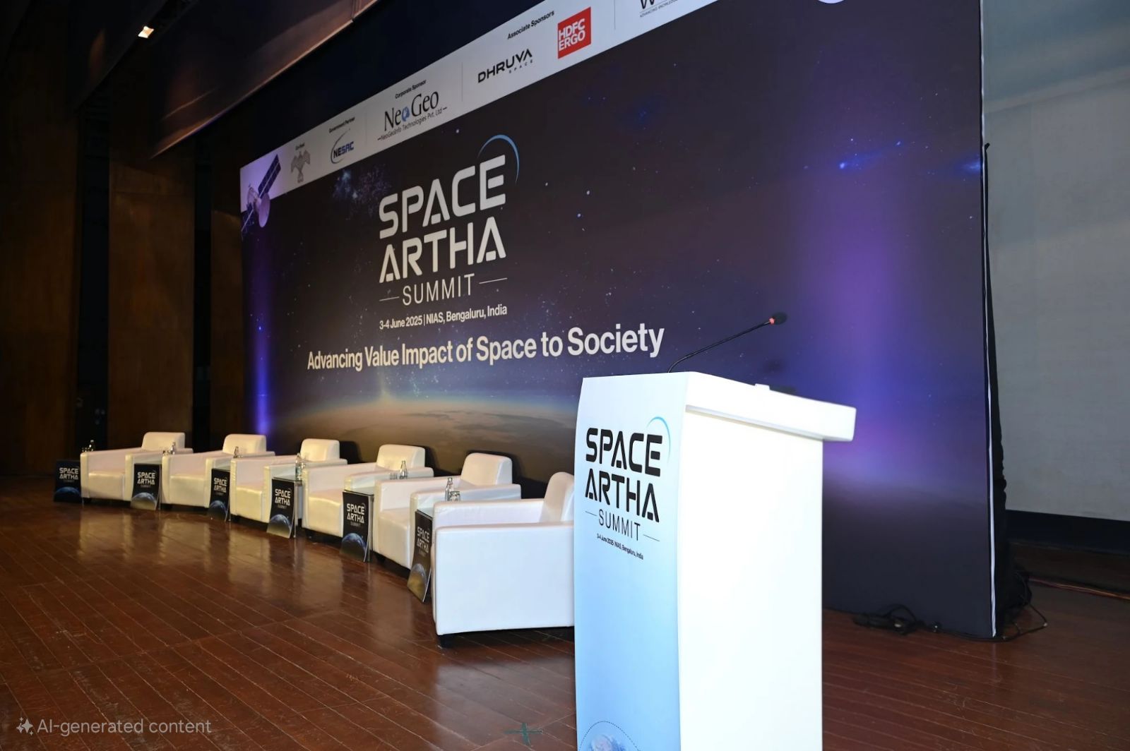
Desapex was honored to participate in the Space Artha Summit 2025, held at the National Institute of Advanced Studies (NIAS) in Bengaluru on June 3–4, 2025. Organized by Geospatial World, this esteemed event has brought together leading minds, government representatives, and technology pioneers from the space and geospatial industries to discuss the future of data-driven transformation.
Our Director, Varunkumar Sagarkar, represented Desapex and delivered a compelling presentation on Enterprise-Level Digital Twins and the integration of geospatial intelligence within the built environment.
“Digital capital expenditure generates substantial data for operations and maintenance, yet these models often lack real-world data. Technologies such as laser scanning, LiDAR, and geospatial data can bridge this gap. Hardware integration is no longer a barrier enterprise-level twins involve connecting multiple systems. Drones play a crucial role in building data assets; the real challenge lies in transforming precise data into interoperable models,” Mr. Varunkumar explained.
He highlighted the importance of closing the divide between static models and real-time operations. By harnessing LiDAR scanning, drone photogrammetry, and geospatial data platforms, organizations can convert project data into dynamic, interoperable digital twins that enhance operations, maintenance, and asset optimization.
Mr. Varunkumar also stressed that with hardware challenges largely resolved, the industry’s focus should now be on achieving data interoperability seamlessly connecting and contextualizing information across diverse systems and devices at scale.
As a leader in Digital Engineering and Smart Asset Management, Desapex remains committed to promoting data-driven decision-making. By integrating geospatial technologies, BIM workflows, and AI, we deliver comprehensive solutions for infrastructure and building projects.
We extend our gratitude to Geospatial World and NIAS for organizing an outstanding summit and fostering these vital discussions. The future of infrastructure is digital and geospatial intelligence is at its core.