Digitizing India’s Largest Oil Refinery – A Completed Reality Capture Journey

Digital Design Management
,
October 11, 2025

Digitizing India’s Largest Oil Refinery – A Completed Reality Capture Journey

The Challenge

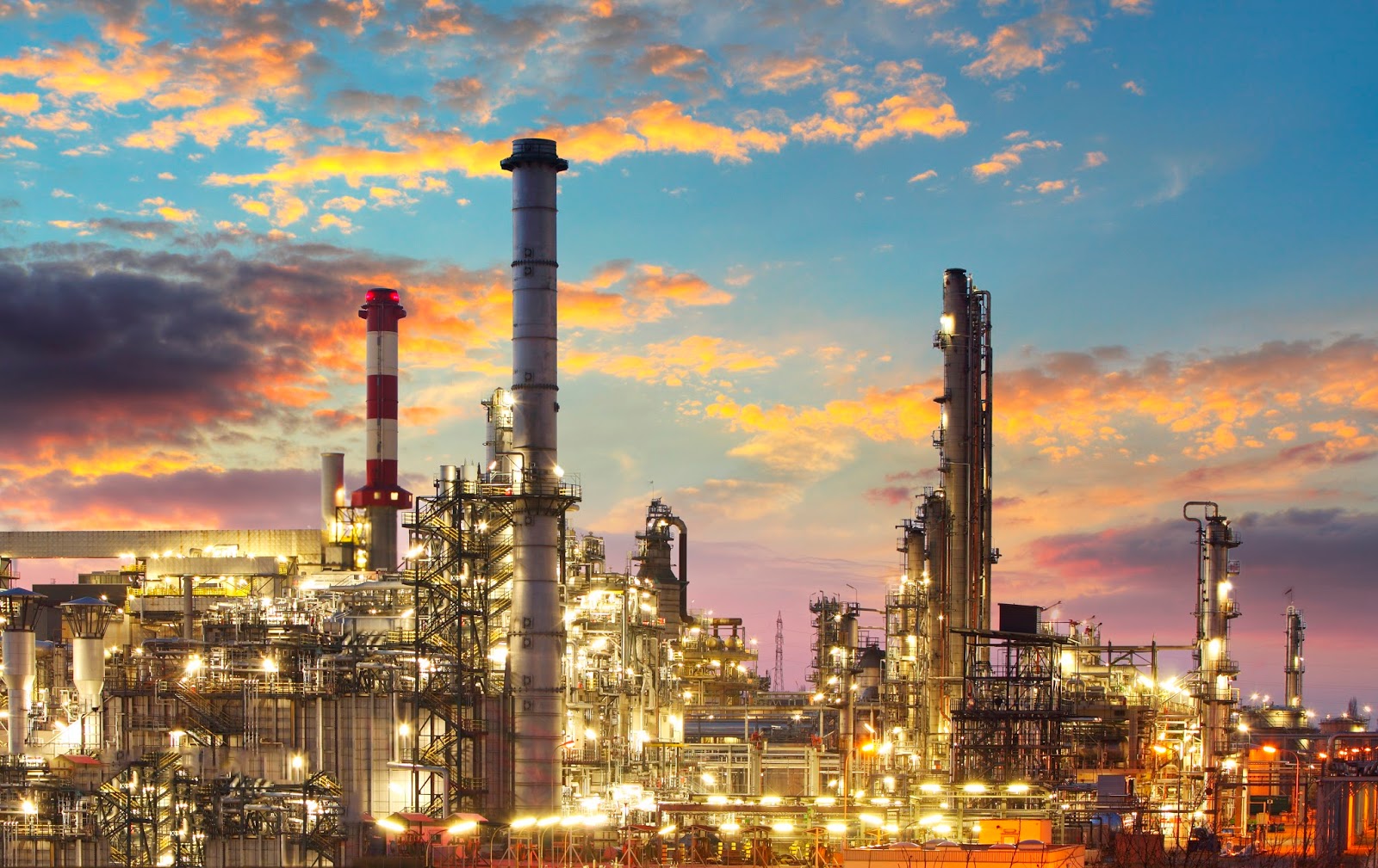
India’s largest oil refinery, a cornerstone of the country’s energy infrastructure, required a comprehensive structural health assessment across its massive 250-acre site. The government-authorized engineering consultancy needed highly accurate as-built 3D models and 2D drawings of all RC and steel structures within the plant.

Given the scale, restricted site access, and operational sensitivity of the refinery, the digitization effort had to be executed with precision, minimal disruption, and with a strong focus on visual clarity for downstream engineering analysis.

Client’s Initial Hurdles

  • Decades-old drawings lacked accuracy or were missing altogether.
  • Traditional surveying methods were infeasible for such a large and complex facility.
  • Health assessment required high-fidelity digital models for corrosion evaluation.
  • Navigating security protocols and obtaining work permits was time-consuming.
  • The client needed an intuitive, visual classification of elements to speed up review and risk detection.
Why This Was Critical

Why did the client want this solved now?

The refinery was preparing for a long-term structural audit and lifecycle management plan, which required verified as-built data.

What was at stake if it wasn’t addressed?

Undiagnosed structural issues could result in hazardous failures or unplanned plant shutdowns, risking both safety and production targets.

Why couldn’t traditional surveying work?

The sheer scale (250 acres) and complexity of interconnected structures required faster, more accurate capture via laser scanning.

What did the client need beyond just a model?

They required color-coded categorization of structural elements and corrosion severity to help various stakeholders, including maintenance, engineering, and safety teams, make faster decisions.

How was it linked to future actions?

This model would become the foundation for planned retrofits, safety upgrades, and asset lifecycle planning.

Gaps in Existing Information

The initial input provided was limited to a general area layout in AutoCAD. It lacked critical on-ground detail:

Structural variations, deformation, corrosion, and undocumented additions. The digital model had to be built almost entirely from high-precision field data.

Why Specific Requirements Mattered

The client demanded more than a visual model they needed a functional engineering tool:

  • Visual distinction between RC and steel structures.
  • A corrosion severity map to aid inspection and repair prioritization.
  • Editable and shareable deliverables for future reuse across departments.
  • Compatibility with multiple platforms like Navisworks and Revit for multi-department collaboration.

The Desapex Solution

  • Laser Scanning Execution: Activities were mapped zone-wise, with work permits pre-coordinated to ensure daily output and site safety compliance.
  • 3D Modeling of RC/Steel Structures: Autodesk Revit was used for model development, ensuring structural fidelity, while Navisworks helped in efficient coordination and appearance profiling.
  • Color Demarcation: Leveraged Navisworks Appearance Profiler and Revit Phase Filters to provide visual hierarchy and clarity.
  • Corrosion Mapping Demo: Conducted visual checks in TruView, identified areas of concern, and presented a categorized corrosion map using Revit’s phase filters.

Project Timeline & Milestones

  • Total Duration: 8 months
  • Progress: Completed
  • Key Milestones:
    • Permit approvals and scanning kickoff
    • Weekly review sessions with the Consultancy
    • Full 3D models (RC & Steel), corrosion mapping, and as-built 2D drawings

Software & Technology Used

  • Autodesk Revit for BIM modeling.
  • AutoCAD for 2D documentation.
  • PDF Viewer for referencing legacy documents.
  • Leica Cyclone Register 360 for point cloud data registration.
  • Trimble RealWorks for advanced point cloud processing.

The project was completed within months what would’ve taken over a year using traditional methods thanks to advanced laser scanning and 3D modeling. This digital model became the foundation for structural health assessments, supporting non-destructive testing with reliable, geometry-rich data.

Engineers could now easily locate structural members across the 250-acre site, while early visual identification of corrosion zones allowed faster safety interventions. The clean, organized as-built drawings improved coordination during audits and future changes. With the entire plant now accessible in a 3D environment, planning, training, and operations have taken a major step forward.

What This Means for Future Projects

This project is more than a technical exercise it’s a glimpse into the future of infrastructure management in India.

By digitizing one of the country’s largest and most critical oil refineries, we’ve shown that even the most complex industrial environments can be translated into intelligent, visual, and data-rich models. What once required risky, time-consuming inspections can now be done virtually with greater accuracy and collaboration.

For consultants and plant operators alike, this marks the beginning of a new era where structural assessments, retrofits, and maintenance planning are built on a foundation of verified, living data.

And as we move forward, this approach is ready to scale across refineries, energy plants, and manufacturing zones turning traditional facilities into future-ready digital assets.

"We’re not just capturing structures, we’re capturing certainty."