
Our Works
Data center
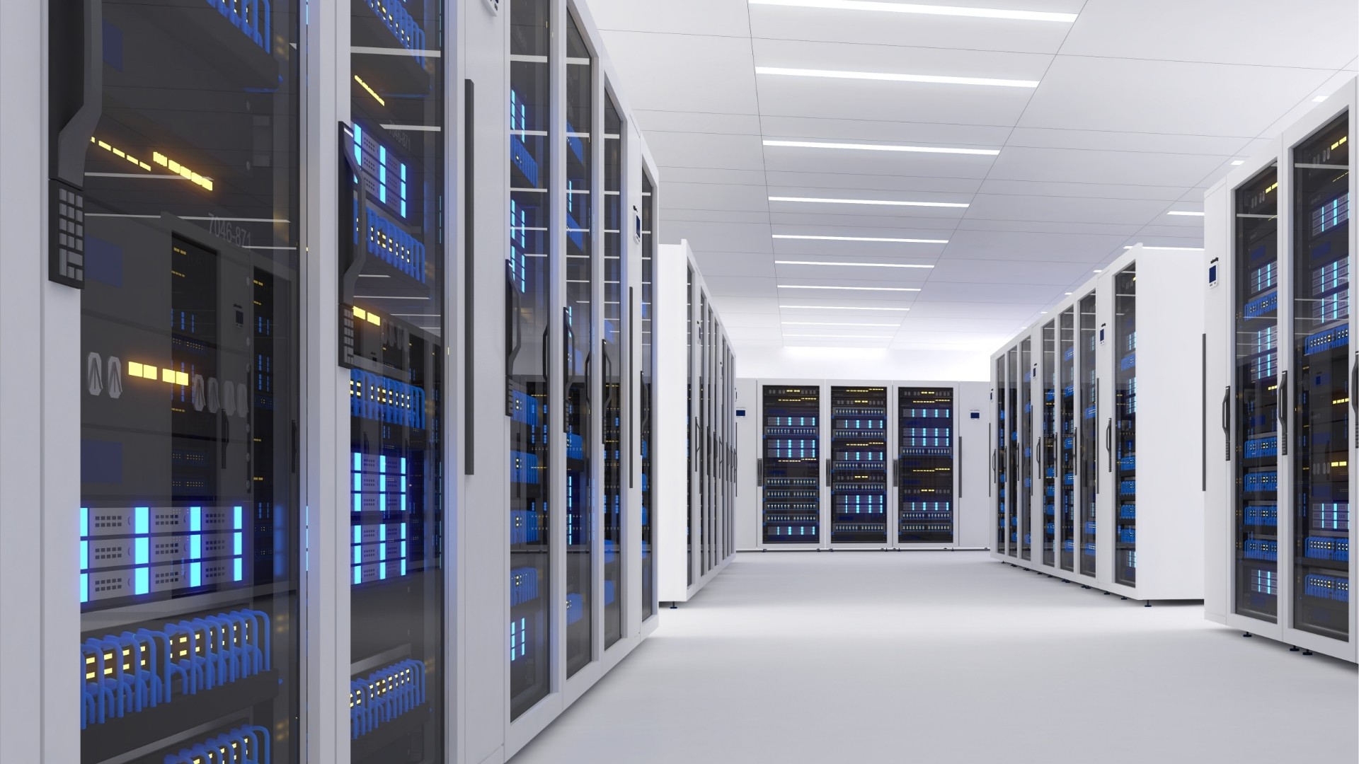
Underground Tunnel Scan-to-BIM for Data Center Expansion
Corporate Real Estate

Building Future-Ready BIM Capabilities
Residential
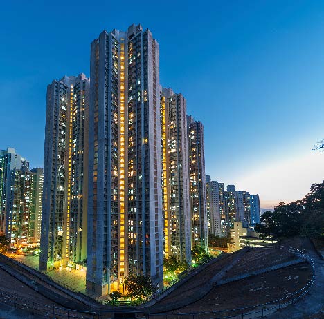
Transforming Residential Construction with Precision As-Built Documentation
Semiconductor Fabs

BIM coordination for a semiconductor facility with cleanrooms and auxiliary buildings.
Factory Buildings

Building a Digital Twin Framework with BIM, Laser Scanning, and CMMS.
Corporate Real Estate

Building a digital-first framework with ISO 19650, 4D/5D BIM, and Reality Capture.
Corporate Real Estate

Digitizing an Office Campus for Renovation and Expansion
Corporate Real Estate

Digitizing a Campus for Renovation and Expansion
Retail Shops

Digitally Transforming a Shopping Mall Renovation with Laser Scanning and BIM