


Introduction
Digital terrain models (DTMs) are geospatial datasets that model the topography of the Earth’s surface in a digital environment. They are typically constructed from another source of geospatial data such as LiDAR, photogrammetry, or terrestrial laser scanning (TLS). A DTM is a useful GIS dataset for a variety of operations and activities; this is especially true when your organization has limited field resources to collect survey information. By using lidar to create your DTM, you can unlock several benefits. Let’s take a look at three benefits of creating a DTM using lidar.
Better Understanding of Environments
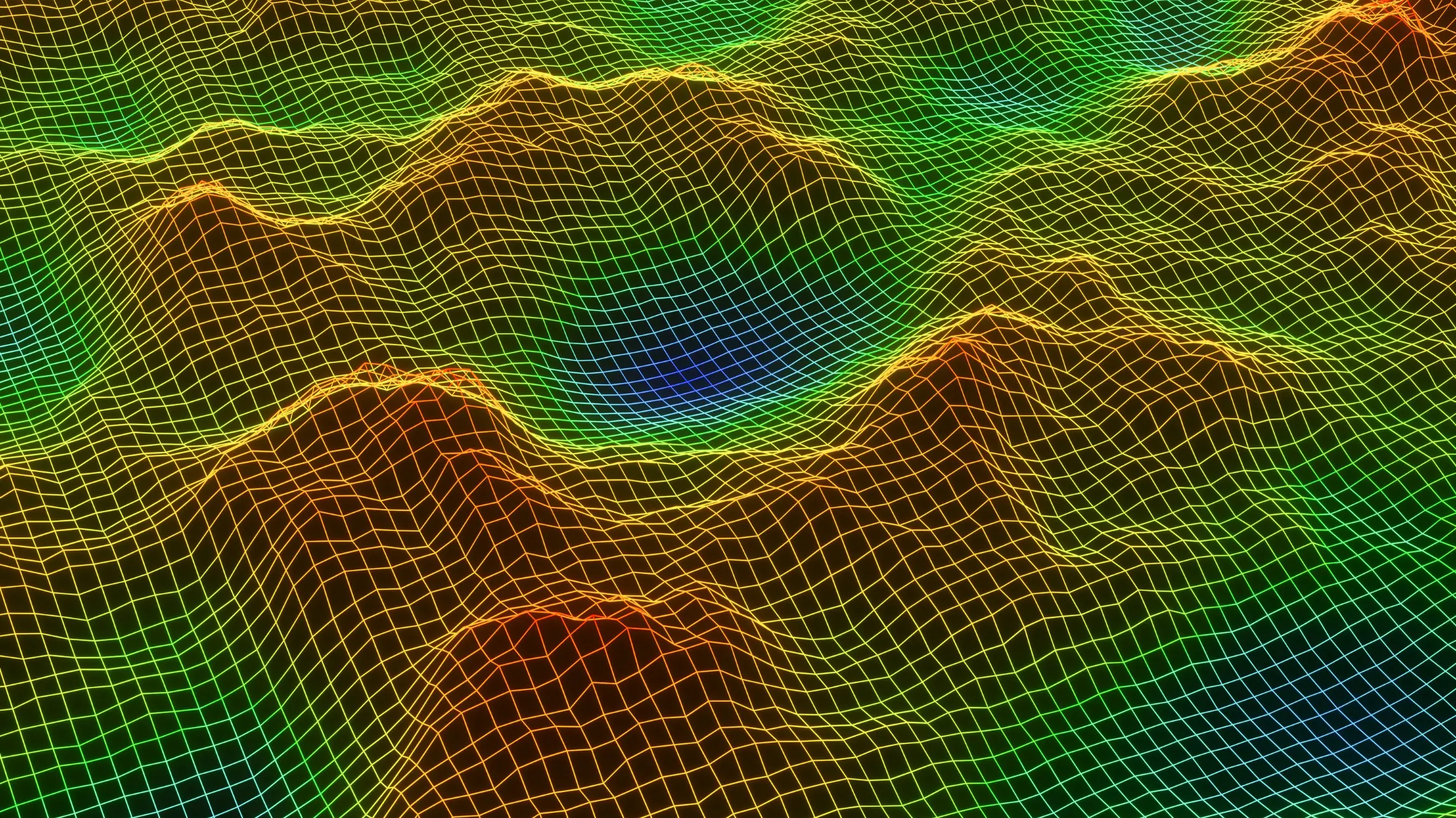
When you use lidar to create your DTM, you create a digital representation of your study area. This digital representation can be used to create a digital terrain data model or digital surface model (DSM). The DSM allows you to visualize your environment in 3D geometry. You can use this 3D model to visualize your study area in real-time or in post-processing.
Real-time visualization allows you to view changes in the environment in real-time to provide a better understanding of your environment.
Lidar-based terrain models can be used to calculate terrain metrics. These metrics can be used to better understand your study area. This includes metrics like terrain roughness or surface roughness values, slope values, and more.
Speed Operations
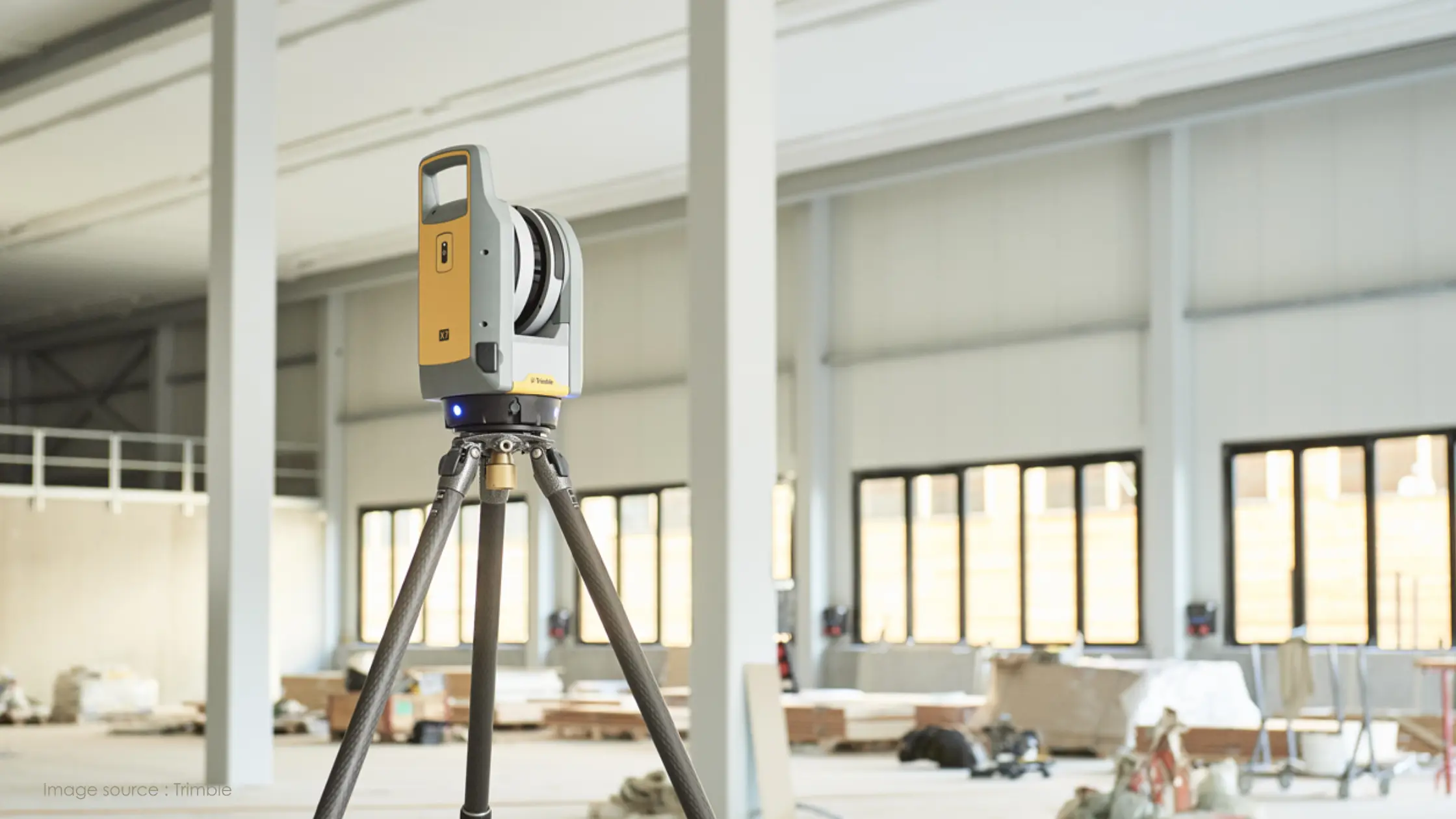
When you create a DTM using lidar data, you speed up operations in the field. For example, when you use photogrammetry to create your DTM, it can take weeks to complete your project because you need to collect field data. Collecting field data using photogrammetry often takes time because you need to set up a survey station, set up cameras, and take images. Most photogrammetry workflows need a lot of ground control points (GCPs) to tie together data collected from the cameras. This means you need to create additional work for your field staff to collect additional GCPs. You don’t have these limitations when creating a DTM using lidar. By choosing to use lidar, you can speed up operations because you don’t need to collect GCPs. You can also speed up operations because you don’t need to set up a survey station or cameras to collect the data.
3D Model Creation
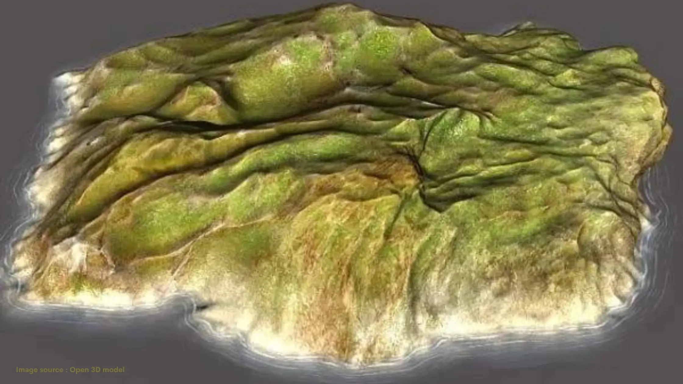
If you are collecting lidar data to create a DTM, you will likely have a high-density lidar dataset. A high-density lidar dataset is created with a high number of point clouds. This high number of point clouds creates a high-resolution lidar dataset that can be used to create a 3D model of the terrain. When you create a 3D model of the terrain, you are able to view your study area in new ways. You can use the model to visualize the terrain, identify critical areas, and create 3D visualizations of your study area. This 3D model can be used for many uses, including infrastructure planning, water flow, flooding, and more. It can also be used to analyze the health of ecosystems and biodiversity.
Conclusion
The benefits we’ve discussed above show why it’s beneficial to create a DTM using lidar data. By collecting lidar data, you are able to collect more data points than when you collect data by other methods. This means you are able to create a more detailed and accurate DTM. With a more detailed and accurate DTM, you can use it for a variety of applications. This includes infrastructure planning, water flow, and biodiversity assessments. When you use lidar to create a DTM, you are able to unlock these benefits and more. This is why it’s important for organizations to invest in lidar technology and create a DTM using lidar data.