


Introduction
Light detection and ranging, also known as LIDAR or laser scanning, is a remote sensing technique that measures the range of objects by illuminating them with light. The distance to the object is then measured based on how long it takes for the light to return to a sensor. LIDAR technology was originally developed for use in self-driving cars and autonomous navigation. It has since been adopted by many industries and geoscience practices as an effective way to capture digital representations of physical spaces. LIDAR is a remote sensing technology that measures distance using lasers, a camera, and an onboard computer. LIDAR technology has many applications, such as detecting objects in fog or gas, measuring vegetation growth, detecting land mines, monitoring road surfaces for cracks or creating as-built drawings, construction progress mapping, and mapping landscapes for 3D virtual reality viewing.
Digital Representation of Physical Space
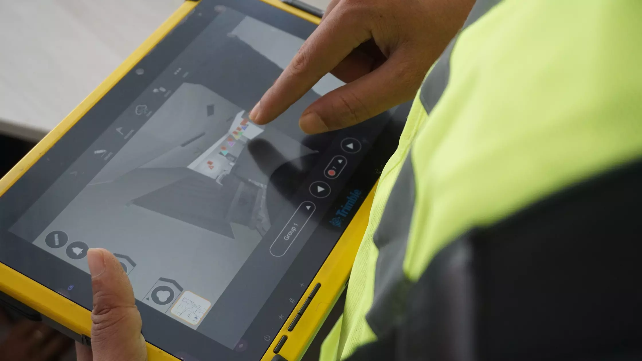
LIDAR data can be used to create a digital representation of physical space, such as a building or landscape. The resulting digital model can then be used for a variety of purposes, such as for virtual tours, for analysis in CAD/BIM software, and modeling in virtual reality. LIDAR data is ideal for modeling indoor of buildings because the laser light can easily capture most architectural, structural & MEPF elements. This can be useful for modeling interior spaces such as rooms, columns, beams, and stairwells in great detail. LIDAR data is not suitable for modeling areas where there isn’t sufficient natural light, such as underground spaces. LIDAR can also be used to generate digital terrain models, showing surface features such as building footprints, trees, water bodies, and other landscape features.
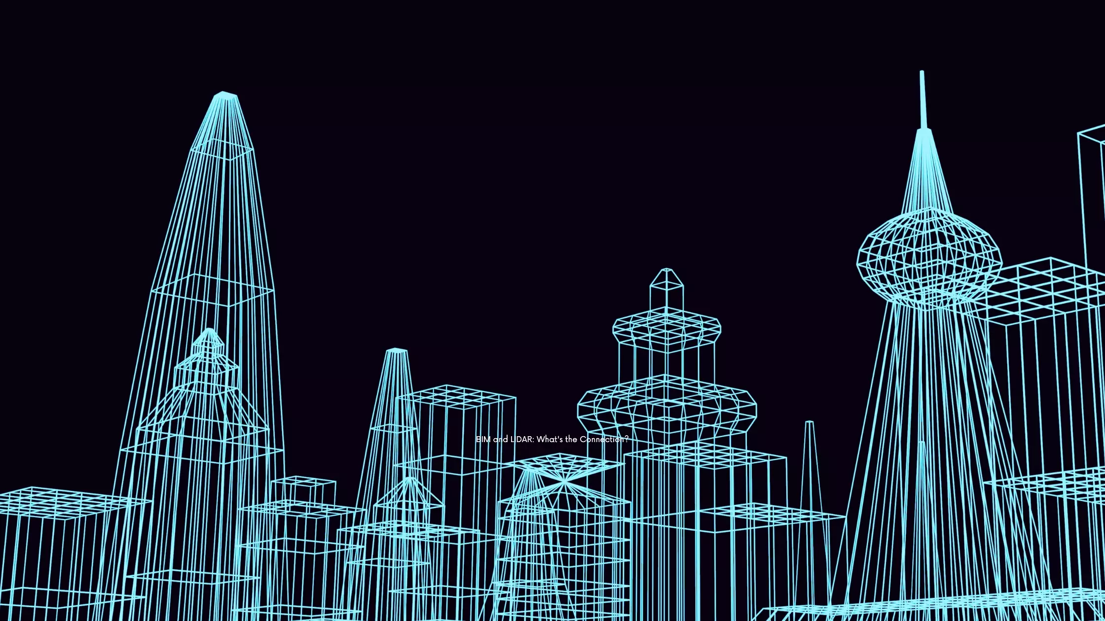
BIM and LIDAR: What’s the Connection?

BIM (Building Information Modeling) is a process that brings together all aspects of construction, including design, engineering, and building operations. A BIM model is a single source of truth for the design and construction process. LIDAR data is one of the main ways to gather geospatial data, which is often required for BIM software to create and track a model. LIDAR data is useful for BIM in that it typically has a high level of accuracy and can be used to create a precise and accurate digital model. Most BIM software has the capability to import LIDAR data.
Understanding LIDAR Data
While LIDAR data has many similarities to data collected from scanning equipment, such as cameras, there are also some important differences. When collecting data with a LIDAR scanner, the laser beam is projected onto a surface and then the time it takes for the light to bounce back to the sensor is calculated and used to determine the distance. This is a quick process and can be done at high speeds. LIDAR data has three main components: elevation data, surface data, and points. Elevation data shows the distance to the surface of the earth at any point, surface data shows the type of surface at that point, and points data represents the location of the sensor. LIDAR data usually has a higher resolution than other scanning methods and can show smaller details. It is also generally easier to collect than other types of data.
Benefits of Using LIDAR for BIM
LIDAR data is a highly accurate way to model physical spaces and can be used for a wide range of applications, as well as for BIM activities. LIDAR data can be very useful for BIM if the appropriate survey parameters are selected. This includes choosing the right equipment and the right scanning methodology, as well as setting up the data correctly in the software. LIDAR data is useful for modeling large projects in great detail, for example for modeling high-rise buildings or large infrastructure projects. LIDAR data can be very useful for modeling complicated building geometries and roof structures, such as roofing materials, solar panels, pipes, and wires. LIDAR data can be very useful for modeling challenging spaces, such as areas with lots of pipes, ducts, columns, or other obstructions.
Wrapping up
With the growing adoption of BIM, LIDAR is becoming a go-to technology to digitally represent physical spaces.
LIDAR data is a good option for BIM when accuracy is a priority.
This can be especially true for large projects, where the amount of data to be processed can be significant. LIDAR data is useful for modeling complicated building geometries and roof structures, as well as large projects, such as bridges and high-rise buildings. LIDAR data can be very useful for modeling challenging spaces, such as areas with lots of pipes, ducts, columns, or other obstructions. However, LIDAR data is not a one-fits-all solution, and the equipment and methodology used for data acquisition are important.